The Spitzer Graben – the Final Frontier
What we like a lot in the Spitzer Graben personally – and which tours we would like to recommend.
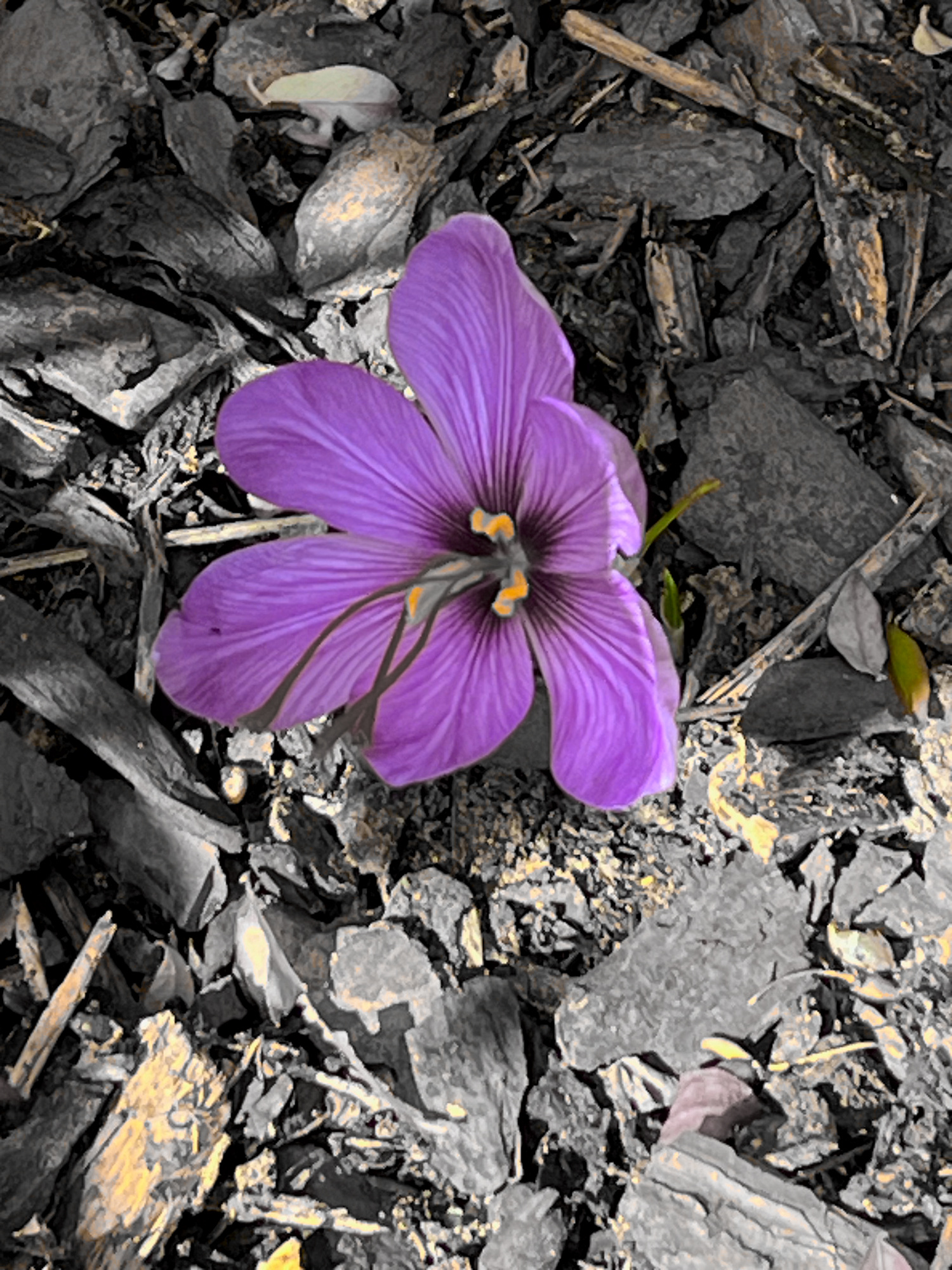
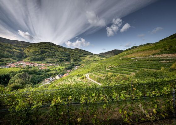
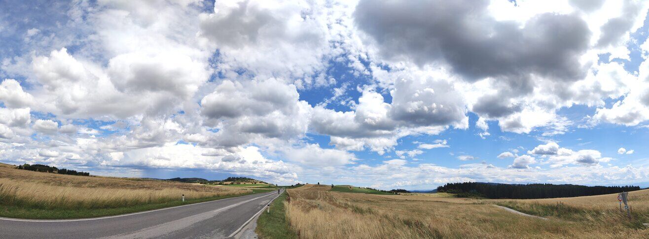
In the Spitzer Graben, there's not only wine. Of course, apricots are always around, although not as abundant as along the Danube. This also applies to the tourist crowds, which mostly pass by this side valley. In vain, one will search here for crowds of people bustling through narrow streets, as seen in pictures from Dürnstein or Weißenkirchen. Also, very few cyclists, who conquer the Wachau in masses along the Danube Cycle Path, take on the additional hundred meters of altitude from Spitz towards Mühldorf. Thus, only a few acquaintances find their way here searching for direct sales from the producer. The streets are mostly dominated by hikers on the Wachau World Heritage Trail, where one can climb Burg Oberranna from Spitz, high above the federal road in the valley, along the southern slopes of the Spitzer Graben.
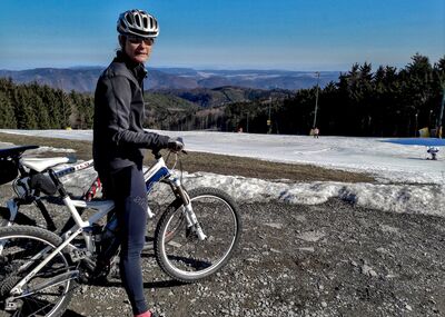
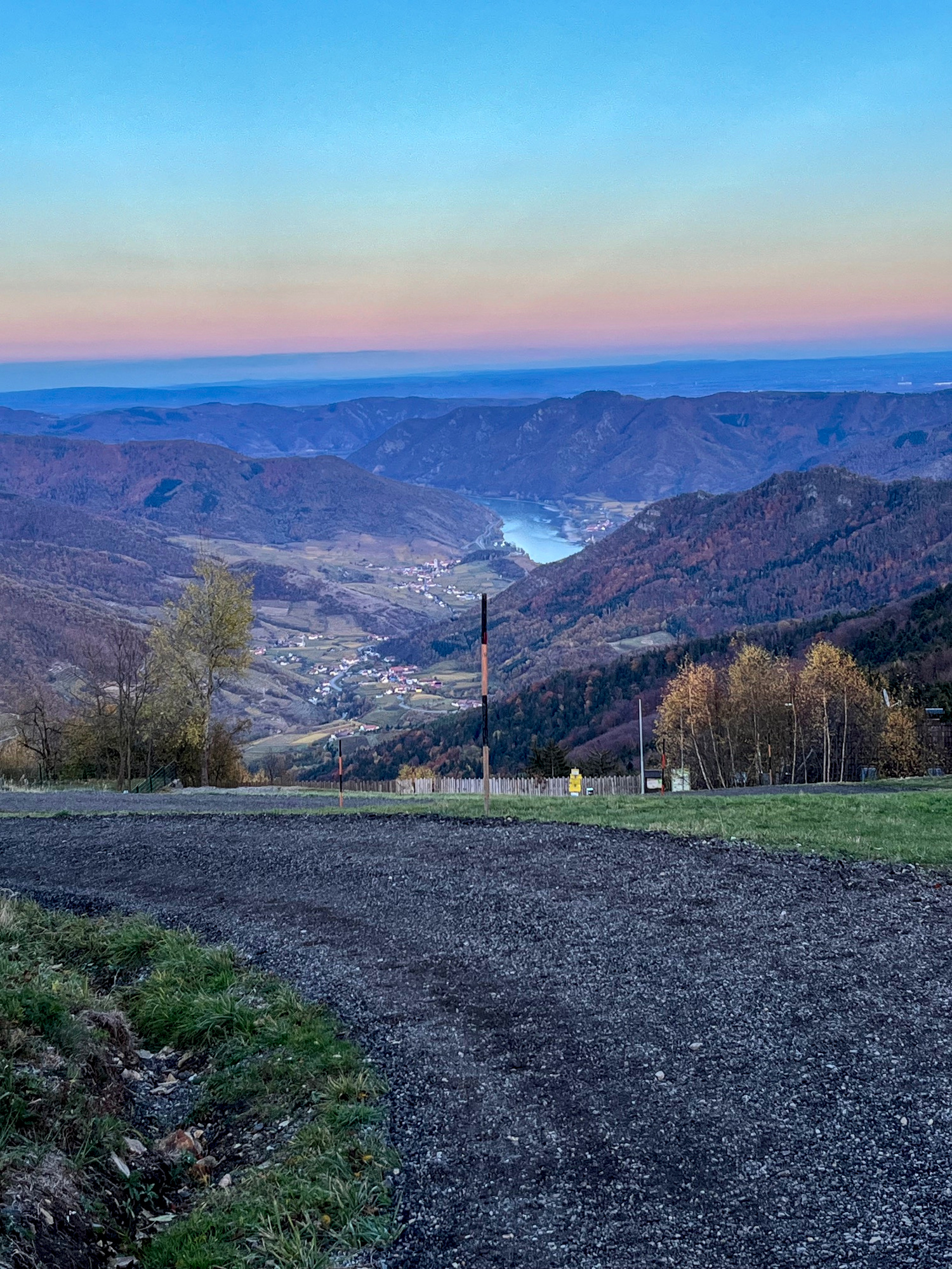
The absolute must-do when you're cycling in the Wachau. From Riedenblick, you either ride downhill, passing Weingut Haberl through the steep alley to Weingut Högl and roll along the federal road until Gut am Steg. At Weingut Stalzer, you turn right over the bridge onto Jauerling-Road, passing through Gut am Steg in the initial meters of ascent and reaching the junction to Vießling after about 500m. You can also reach this point directly by cycling from Riedenblick past the chapel in Vießling towards Spitz or Gut am Steg. On the small road, you first enjoy beautiful views towards the Danube and Tausendeimerberg, save about 70 meters in altitude, and after about a kilometer, you reach the junction into Jauerling-Road 500m after Gut am Steg mentioned above. From here, it's uphill towards Jauerling in several shady serpentines in the forest, with gradients mostly around 10%, rarely single-digit percentages on the speedometer, but never more than 12%. After about 400 meters in altitude, you exit the forest, pass through the small village of Benking at another 12%, and reach Oberndorf, where you turn towards Naturparkhaus Wachauterrasse. Even if you can't reach this with your road bike on asphalt, you shouldn't miss the last 80 meters of ascent and continue to the transmitter station and the lookout tower. Otherwise, you'll miss the last ramp before the parking lot, where the Garmin briefly shows 15%. At the parking lot, you're at the upper edge of the "Skiarena Jauerling," which consists of a slope with a ski lift, floodlights, artificial snow, and a snack hut.
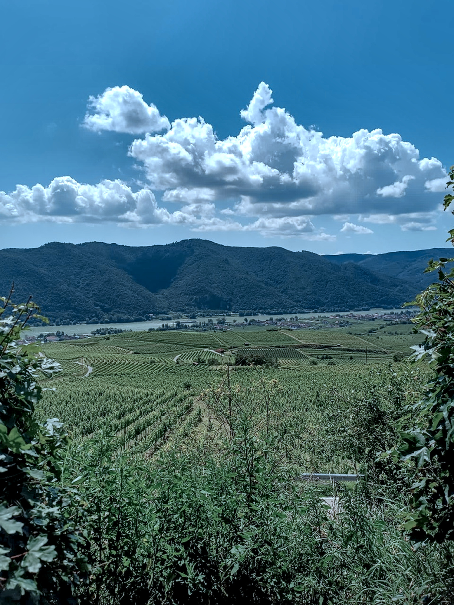
Magnificent views of the Wachau, the Danube, the Dunkelsteiner Wald, the Rax, the Schneeberg, and finally to the Ötscher. From Vießling, it's about 8.5km and 630m in altitude. Back to the junction in Oberndorf and then downhill home to Vießling, or continue past the base station of the Skiarena towards Maria Laach. From there, downhill into the Danube valley or (more scenic) when leaving Maria Laach, turn right and head towards Nonnersdorf into the Weitental. There, with constant ups and downs, a few more meters in altitude and kilometers add up. From the Weitental, either return to Vießling with an easy climb to Zeining and Mühldorf, head towards the Danube valley via Weiten, or go to the Yspertal via Pöggstall.
Directly from the doorstep in Vießling, you can also access other very beautiful – albeit less well-known – ascents. First and foremost are the serpentines from Mühldorf to Elsenreith and further to Ottenschlag. In total, it's about 18km and 640m in altitude with flat sections and a counter-climb, making it not as strenuous here even in the steepest sections as the ascent to Jauerling. Alternatively, you can turn left in Mühldorf towards Pöggstall and after about 1km, turn right and through Amstal towards Elsenreith. This ascent is slightly shorter and therefore steeper. In Elsenreith, you can also head towards Kottes instead of Ottenschlag. We particularly enjoy turning right in Mühldorf, passing the Niederranna church towards Himberg. Right after the church, there's a short 13% incline up to the water reservoir, but the remaining 5km and about 400m in altitude to Himberg are very pleasant to ride. Whether Ottenschlag, Kottes, or Himberg, you're at around 800 meters above sea level on the high plateau of the Waldviertel.
But beware, the Kleine Krems and the Große Krems, along with numerous other small streams, crisscross the Waldviertel, so you'll often have to descend over hundred meters into a river valley, only to climb back up to the plateau on the opposite side. You should enjoy climbing if you're winding your way through the Waldviertel.
A highlight is certainly from Vießling to Lichtenau or Gföhl and through the Kremstal, always slightly descending towards Senftenberg. From there, you'll encounter a nice climb to Nöhagen and over Weinzierl to Weißenkirchen. From Nöhagen, you can encounter counter-climbs via Maigen, Lobendorf to Großheinrichschlag, and also descend to Weißenkirchen. On this road, just before Weißenkirchen, when you emerge from the forest, you'll have one of the most beautiful views over the Wachau from a parking lot in a hairpin turn. In Großheinrichschlag, instead of heading down to Weißenkirchen, you can also go via Himberg to Mühldorf and back home to the Riedenblick. If you do head to Weißenkirchen, you'll need to use the cycle paths back to Spitz, which naturally often have a lot of bicycle traffic and (almost always) headwind. Save a bit of your energy for the final ascending 4km in the Spitzer Graben.
If you're already tired of climbing in Senftenberg in the Kremstal, then just continue to Krems and back along the Danube to Spitz. Regarding traffic and wind, the same applies as for the return journey from Weißenkirchen.
Or you can head to Bärnkopf. In Ottenschlag, you'll take the main federal road B36, where traffic is rarely heavy, towards Pöggstall. After about 8km, you'll leave the B36 and turn right towards Martinsberg. Along a small country road, you'll pass through Gutenbrunn and enter a forest at the edge of the village. Here, with small counter-climbs but mainly ascending, you'll ride the last 11km to Bärnkopf. In winter, this area is a cross-country skiing paradise. Approximately 4km before reaching your destination, a small road from the right merges with a signpost pointing towards Saggraben. You'll reach here if you go from Ottenschlag towards Bad Traunstein and further towards Schönbach. After a long descent, you'll turn left towards Saggraben/Bärnkopf. This route has a bit more altitude gain but is highly recommended because you'll experience the seclusion of the Waldviertel up close! Just before Bärnkopf, after passing the Weinsbergwiese, you'll reach the highest point of the road at around 1000m above sea level, higher than the Jauerling. It's about 42km from Riedenblick to Bärnkopf, and if you return on the same route, you'll have around 1100m of elevation gain on your odometer. In Bärnkopf, you can refuel at the Wackelstein inn, where you often encounter other cyclists. Alternatives on the way back include the aforementioned Saggraben, or you can turn right at the beginning of Gutenbrunn, just as you emerge from the forest, towards Ulrichschlag and reach Laimbach. From there, you'll have various options such as the Yspertal, the pilgrimage church Maria Taferl, the Weitental, or the scenic route from Am Schuß up through Feistritz and Heiligenblut to Zeining and further to Mühldorf, making the decision difficult.
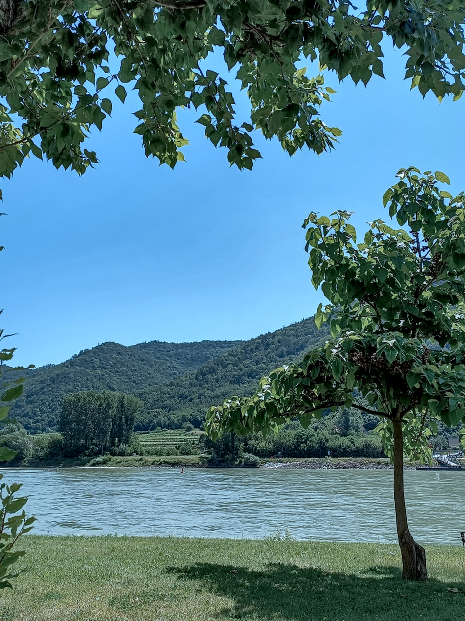
From Riedenblick, you roll 4km to Spitz on the Danube and head towards Melk or Weißenkirchen, Dürnstein, or Krems. In Weißenkirchen, the ascent into the Waldviertel via the "Seiberer" beckons, with some hairpin turns in the lower part and one of the most beautiful views over the Wachau from a rest area in one of the uppermost hairpin turns. In Emmersdorf, there's a Danube bridge to Melk, in Krems, you can cross the Danube to Mautern, and in Spitz and Weißenkirchen, you can reach the other - right - bank of the Danube using a roll-on ferry. It's much quieter there even during the peak season than on the more prominent left bank. You don't have to stick to the bike path along the Danube; we recommend to take on a few more meters in altitude here and immerse yourself in the Dunkelsteiner Wald with the pilgrimage church Maria Langegg.
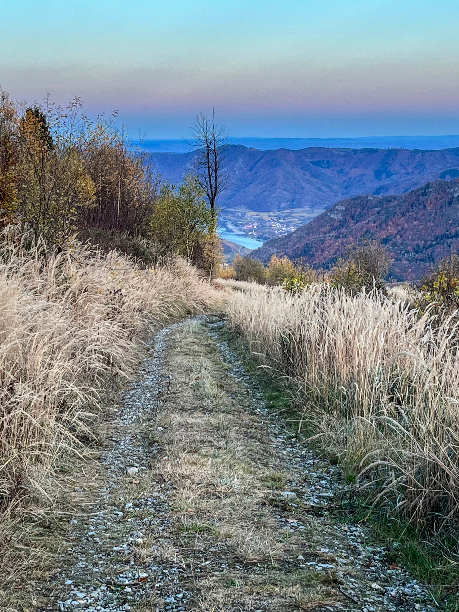
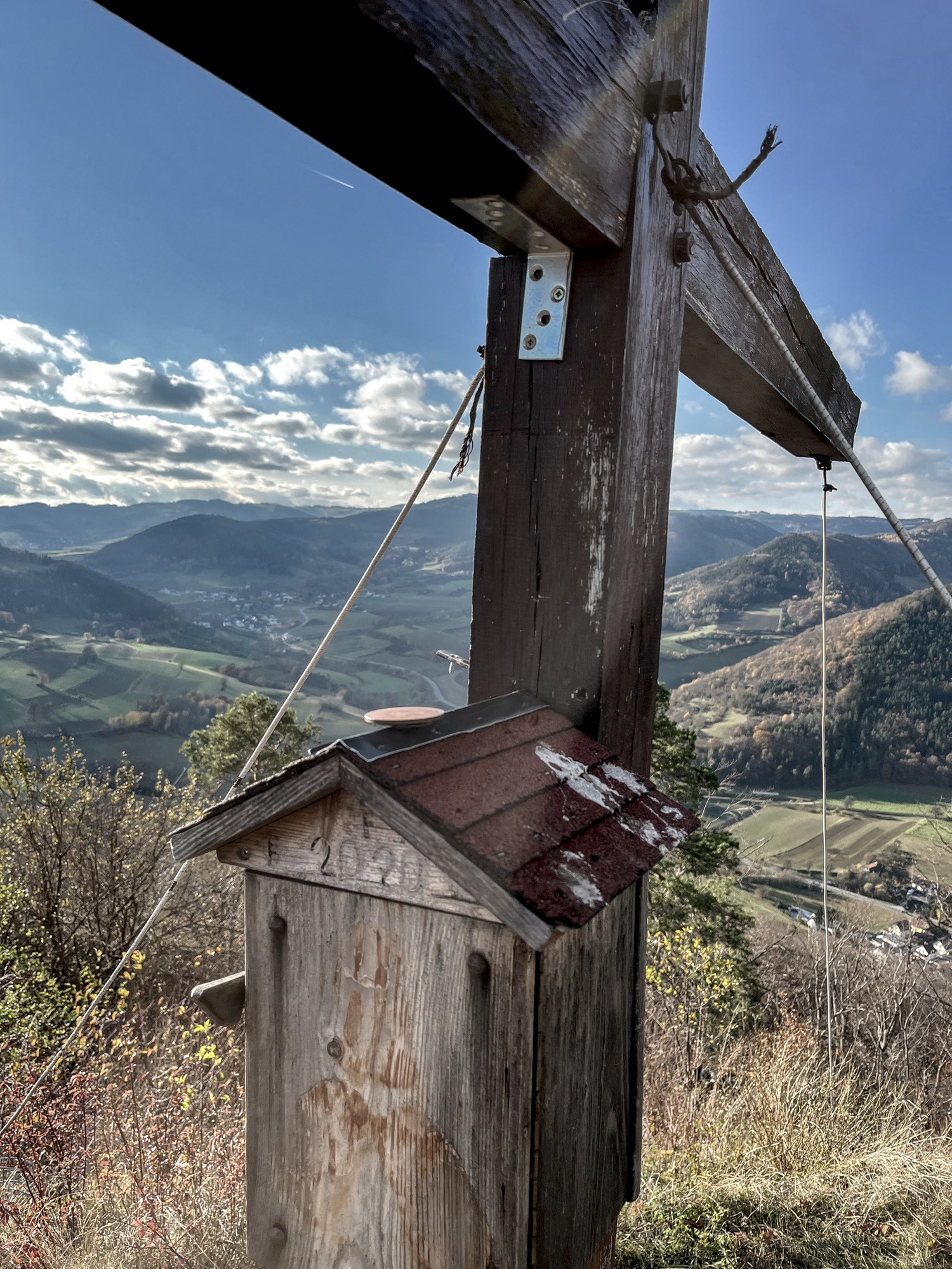
Directly from the doorstep in Riedenblick, past the chapel and up to the right, you'll reach a forest road, where in 5.6km with 640 meters of elevation gain, you can easily reach the Jauerling without any technical pain. On this forest road, just before the summit – unlike with a racing bike – you'll come across the Naturparkhaus Wachauterrasse. As the name suggests, from here you'll enjoy a magnificent view of the Danube, Tausendeimerberg, and the Spitzer Graben. From the Naturparkhaus, it's only a 5-minute walk to the summit of the Jauerling. In addition to this home route, you'll find marked MTB trails in the immediate vicinity with the "Weinstein Tour" and the "Rannarunde", among others.
In Riedenblick you are in the middle of the MTB-Area Wachau-Jauerling, which was founded in 2024. Its 18 labeled routes guide you through 365 miles and over 58.400ft in altitude. More informationen is available on the website www.donau.com.
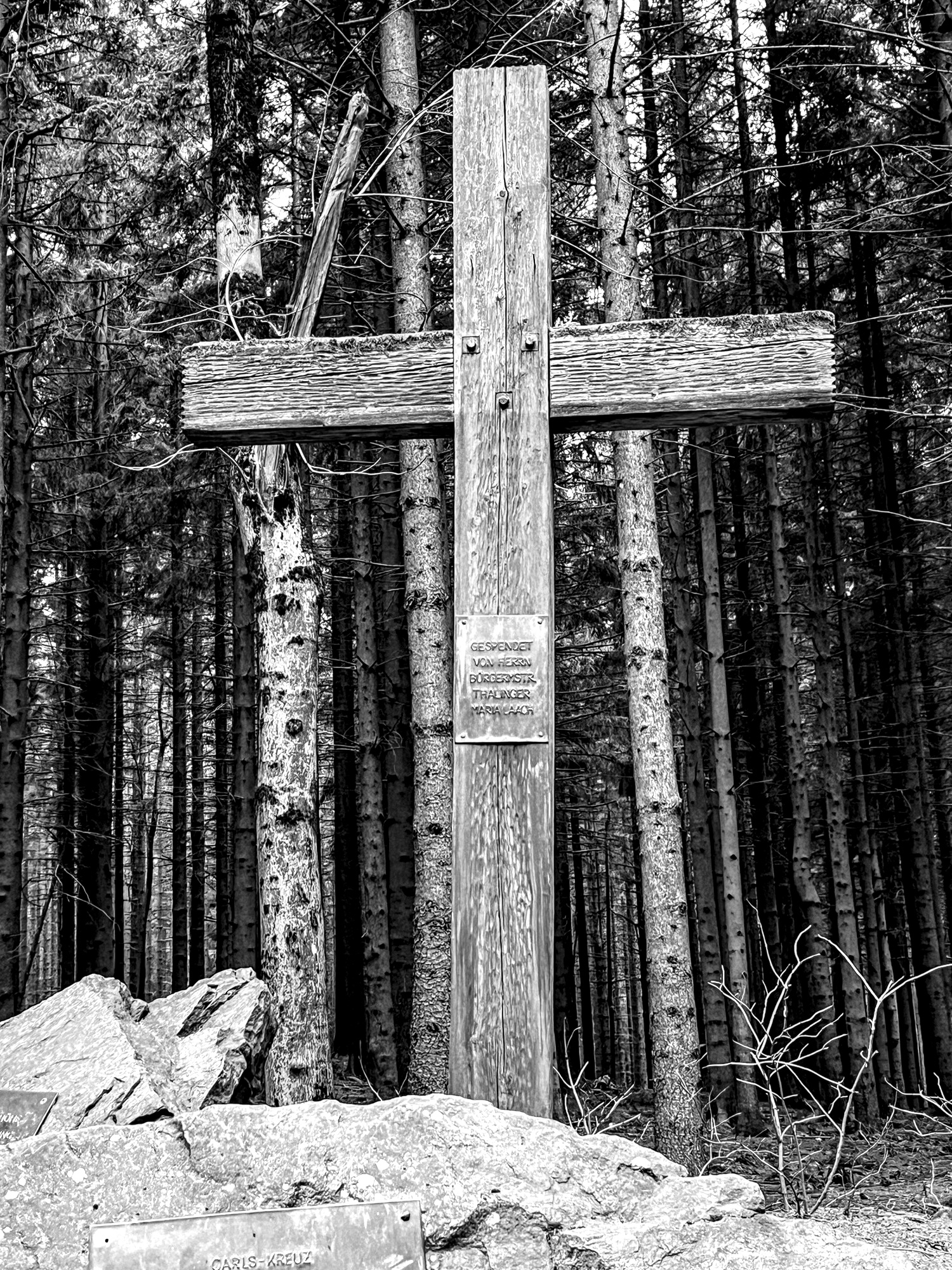
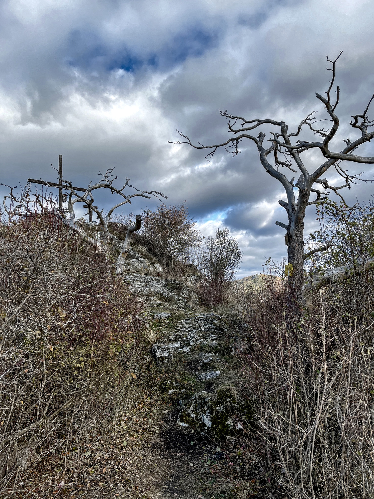
The mountain bike trail to the Jauerling is equally excellent for trail running. We highly recommend also trekking up the home mountain Trenning from Elsarn, via a beautiful ascent. As a reward, from the summit cross, you can catch glimpses of the vast expanses of the Spitzer Graben. On the opposite side of the Spitzer Graben, you'll reach a small asphalt road used by winemakers to access their vineyards, passing through Ried Bruck to the Wachau World Heritage Trail, where you can run to Spitz. The circuit can be shortened as desired, as there are numerous small roads from the World Heritage Trail that lead down to the main road.
You can of course also hike the mountain bike trail to the Jauerling. Moreover, numerous hiking trails traverse the vineyards of the Wachau. The "Marivinoweg" passes directly by us at the Riedenblick. Along the opposite slope, you'll follow the World Heritage Trail from Spitz to Mühldorf and to Burg Oberranna. If you don't want to walk the entire stage, you can descend between the Zornberg-Hütte and the Bruck-Hütte on the narrow asphalt path through Ried Schön and Ried Bruck to the main road. You'll already see the Riedenblick Apartments on the opposite slope from here, and with a bit of luck, you might even encounter horses helping with the steep terraces. After a wine tasting at the Högl winery, cross the road and pass through the steep alley past the Haberl winery directly to us at Riedenblick in the Vießling district of Spitz, and from this side of the Graben, return to the center of Spitz via Gut am Steg. Also highly recommended is the ascent from Elsarn to the home mountain Trenning and down to Mühldorf.